Quatermain's Journal
Every explorer eventually acquires a map covered with marks that mean nothing to anyone else. A pin may represent a discovery, a narrow escape, an unanswered mystery or simply a place one has promised never to forget.
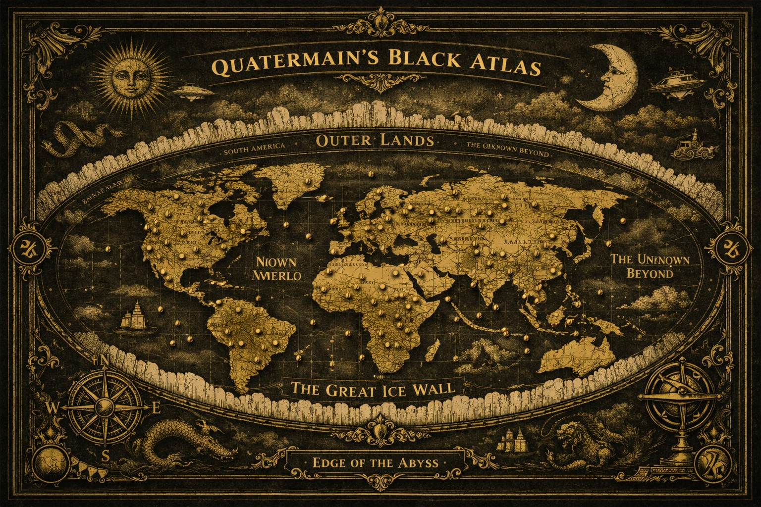
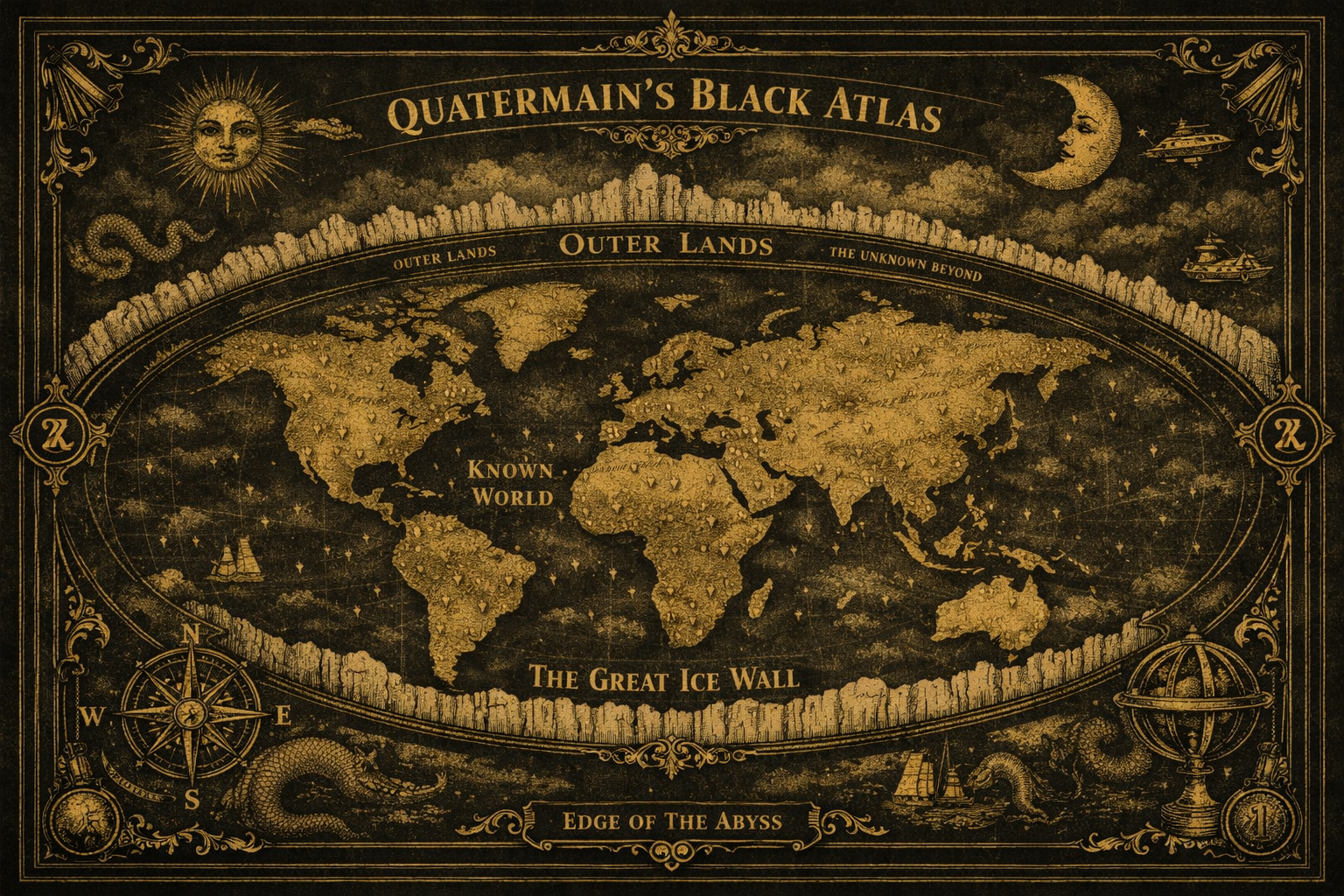
The Black Atlas was created as a record of such journeys. Its dark surface presents the known world surrounded by distant boundaries, imagined outer lands and the suggestion that exploration does not end merely because a conventional map has reached its edge.
One edition records destinations associated with Quatermain's travels. The Traveller's Edition begins unfinished, allowing each explorer to mark the places already visited and those still waiting beyond the horizon.
The Black Atlas
The map combines the appearance of an aged expedition chart with celestial symbols, ships, unknown territories and the traditional warnings once placed around the uncertain edges of the world.
It is not intended as a conventional geographical authority. It is an invitation to remember that maps have always contained something of the beliefs, fears and ambitions of those who made them.
Quatermain Field Observation
A map may show where a man has travelled, but its empty spaces reveal something equally important: where he still intends to go.
Archive Notes
Creator: Quatermain Official
Classification: Original Quatermain Curiosity
Format: A3 landscape map
Dimensions: 297 × 420 millimetres / 11.69 × 16.54 inches
Editions: Quatermain Expedition Edition and Traveller's Edition
Customer Edition: Traveller's Edition
Archive Status: Planned for release when the Quatermain Official Emporium opens